
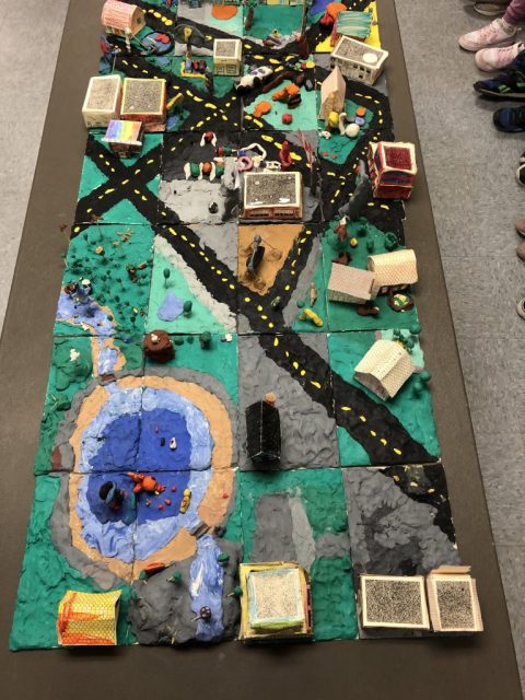
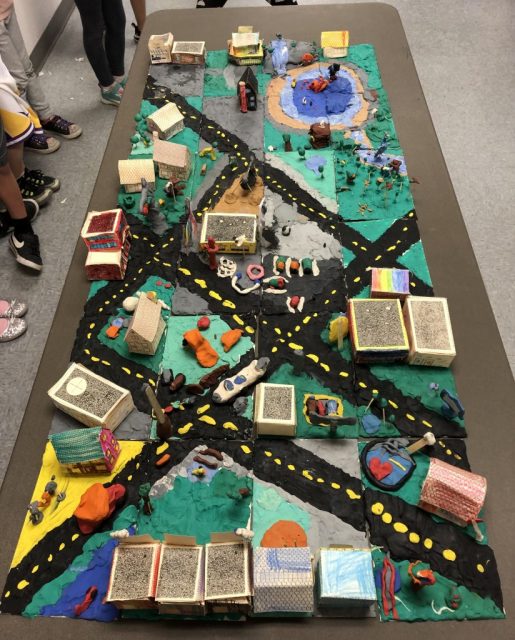
We started with a large piece of white roll paper divided into 24 six by nine inch tiles. These all had mapping coordinates on them – A1 through to D6. Heavy tag board tiles were cut to these measurements. These were temporarily taped together so the grade twos could draw on the basic structures of roadways, parks, and the school site.
Each student then chose their tile as their name was pulled from a box. Two students were then pulled for the extra two tiles. Then the individual work began. Plasticine was used as ground cover – grass, cement, or asphalt for roads. Students chose different structures for their site. When these were all in place, details were added such as trees, stop lights, flagpoles, etc.
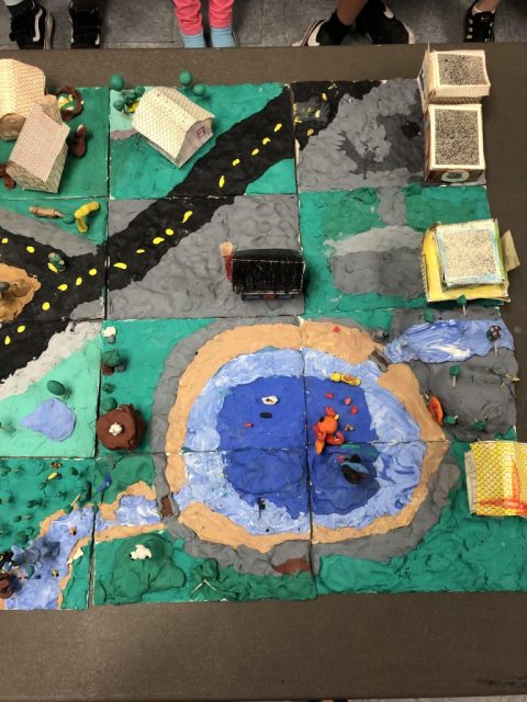
Side view photos in three sections for close ups:
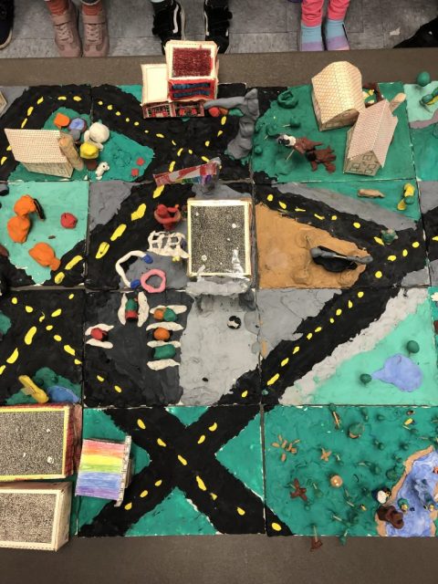
 And one from the other end …
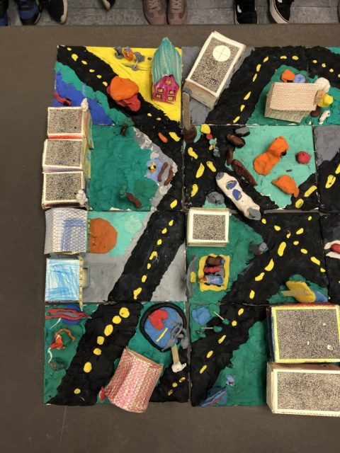
Five classes came and viewed our work this afternoon.
Well done, everyone!!