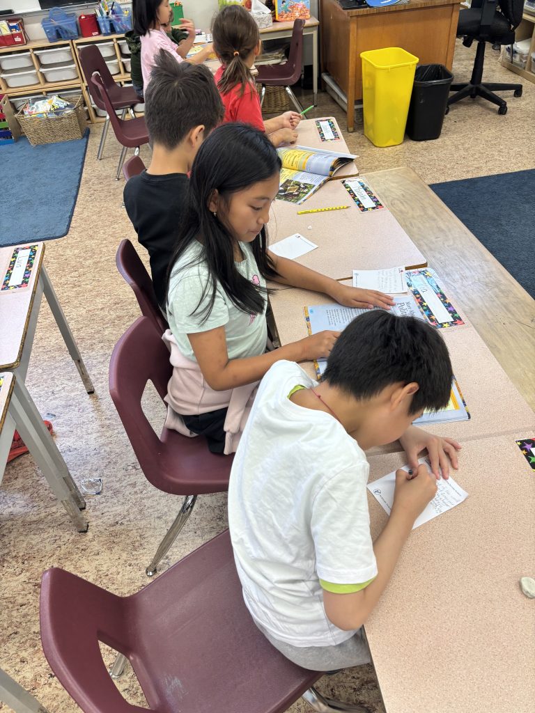
Students are currently developing their mapping skills. Students are expected to be able to do the following:
Grade 3s:
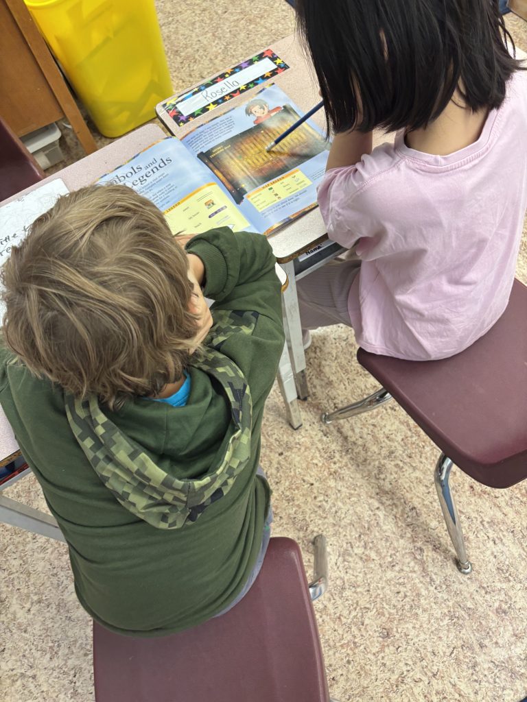
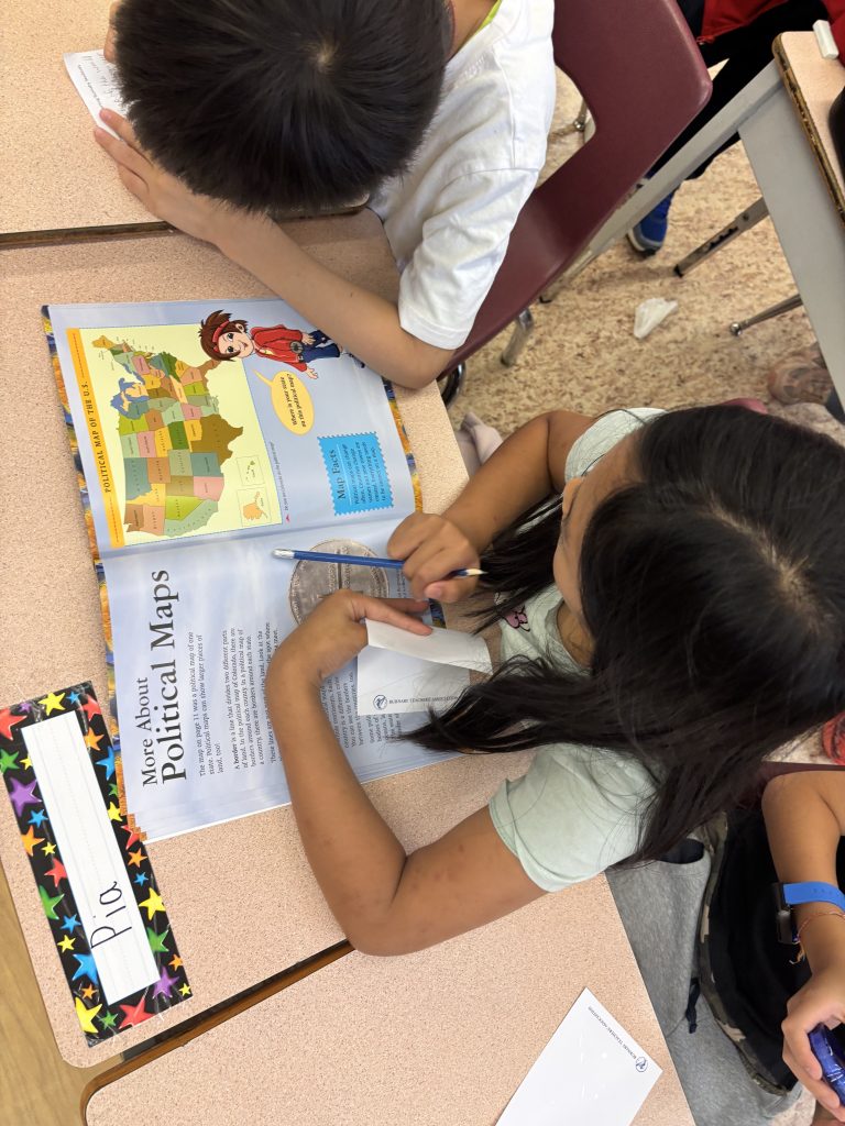
- Identify the significance of symbols and colours on maps (e.g., colours to represent economic activity, various types of lines to represent roads and railways, symbols for capital cities)
- Interpret information on simple maps using cardinal directions, symbols, and legends
- Create simple maps to represent the community and one or more other communities within BC and Canada
- Use simple map grids (e.g., letter-number co-ordinates) to identify specific locations
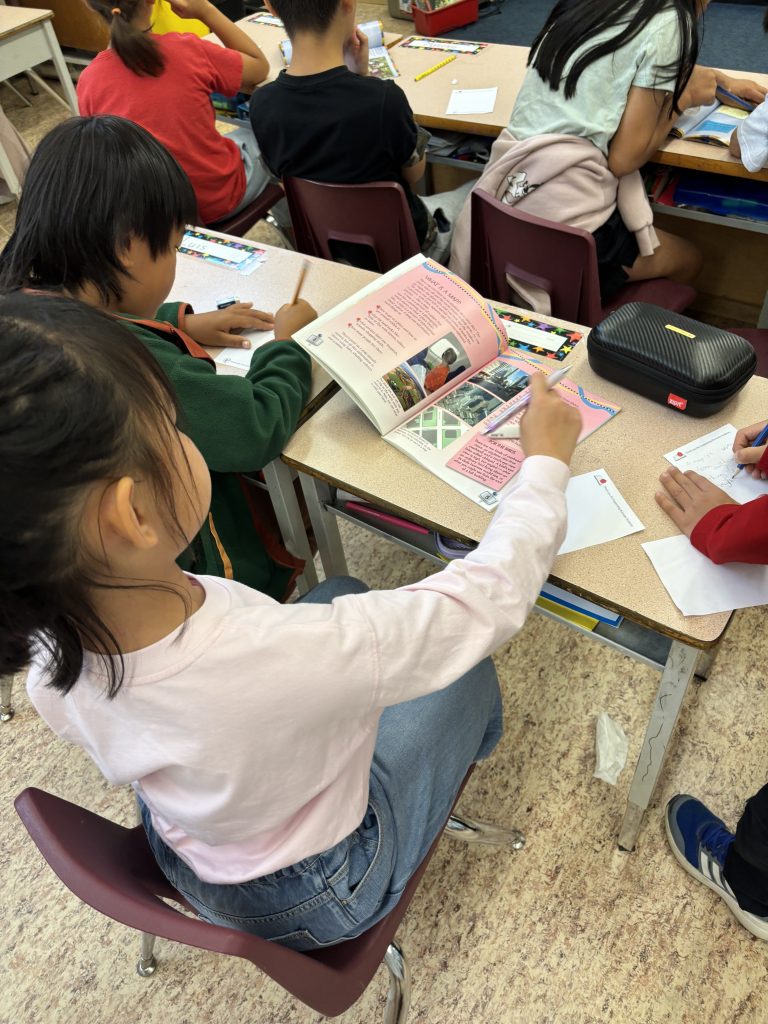
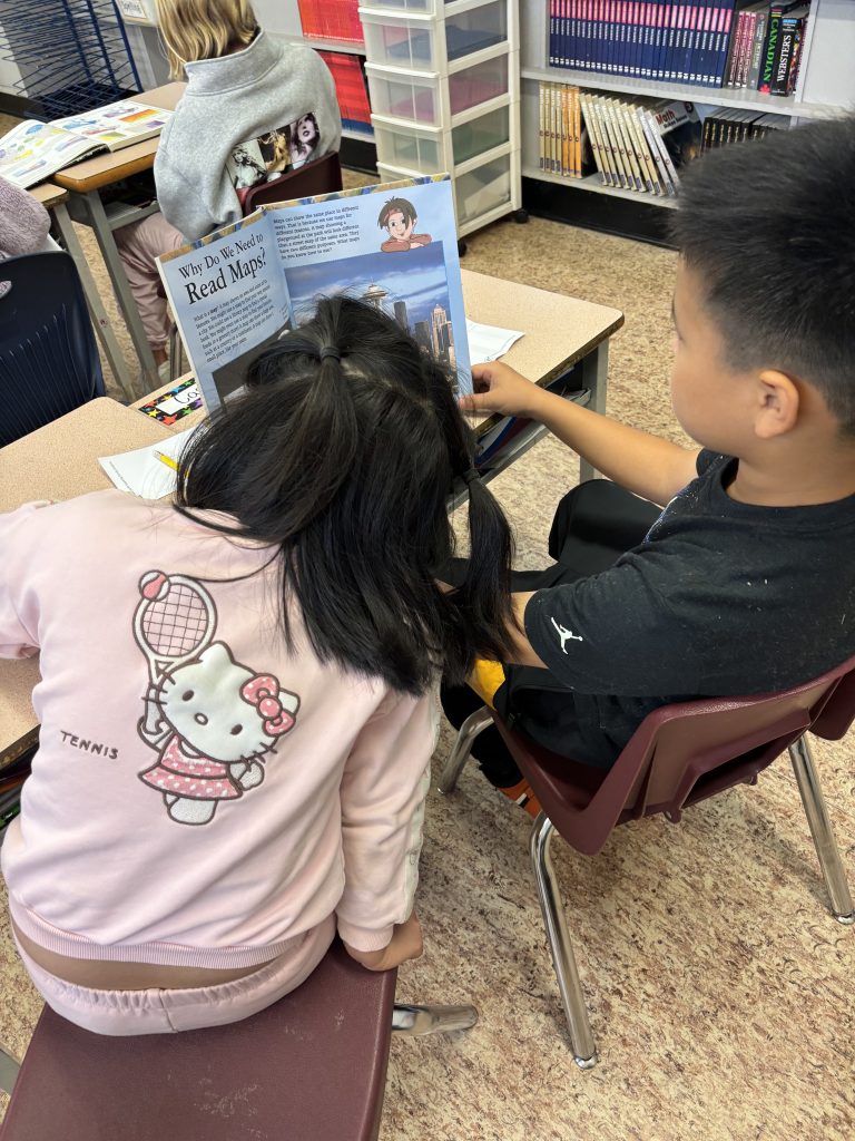
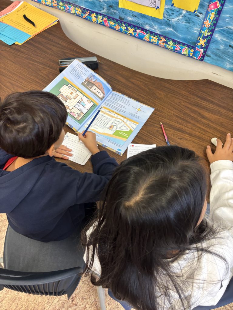
Grade 4s:
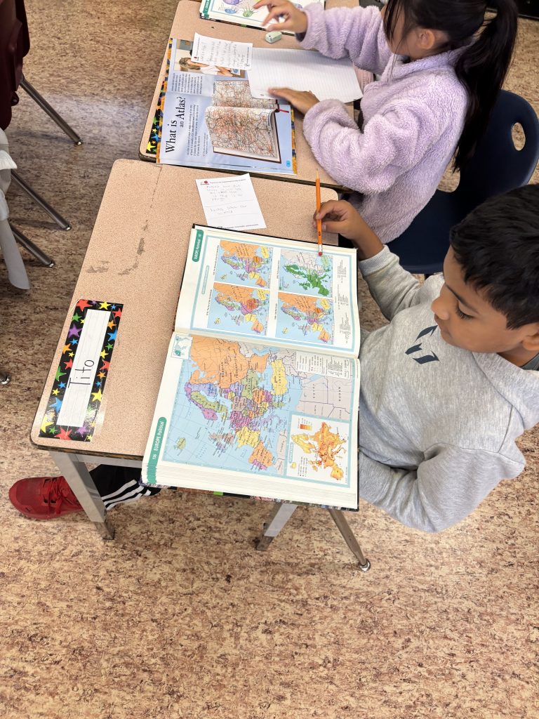
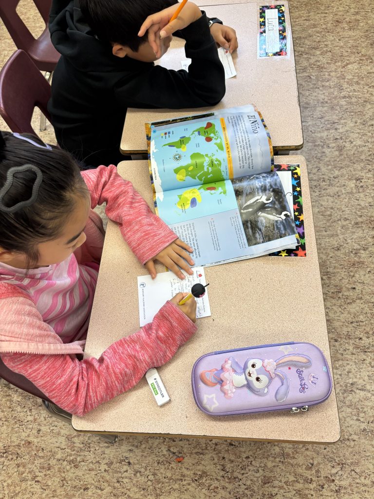
- Use grids, scales, and legends on maps and timelines to interpret or represent specific information
- Translate information from maps to other forms of communication and vice versa (e.g., write a paragraph describing what you see in a map, create a map based on an image or oral description)
Prev
Next